-40%
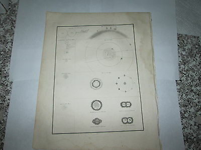
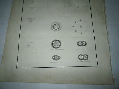
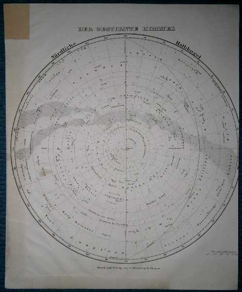
1835 BRADFORD MAP "ASTRONOMICAL ILLUSTRATIONS" INTERESTING OLD MAP
$ 5.28
- Description
- Size Guide
Description
THIS IS AN ORIGINAL MAP, IT ISNOT A REPRODUCTION
.
I HAVE MANY OTHER 1835 BRADFORD MAPS ARE FOR SALE.
You are bidding on
ONE
1835 Antique map of
1835 BRADFORD MAP "ASTRONOMICAL ILLUSTRATIONS"
.
This map is from: "A COMPREHENSIVE ATLAS GEOGRAPHICAL, HISTORICAL & COMMERCIAL BY T. G. BRADFORD". "WILLIAM D. TICKNOR, BOSTON WILEY & LONG, NEW-YORK".
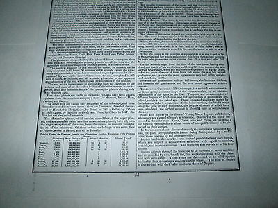
This map is accompanied by one page of descriptive
text as seen in the pictures.
This map is 21.
This map is an
engraving
as you can see the plate marks.
PLEASE CONTACT ME WITH ANY QUESTIONS AND OR SPECIFIC PICTURES YOU WANT.
If you want pictures then
contact me.
I will need your internet contact info. Mine is:
bbobb
at
roadrunner
dot
com
PRINTED IN:
"USA."
DATE:
1835
SIZE:
Paper size is 10-1/4 inches tall by 12-3/4 inches tal
l. Map size is 7-3/4" 7all by 10" wide.
CONDITION:
THESE MAPS LOOK DARKER IN THE PICTURES THAN THE MAPS ACTUALLY ARE.
This map is in good condition for its age BUT it
has water stains in the border areas. With work this map can be mounted.
SHIPPING: SHIPPING AND HANDLING TO THE
48 CONTIGUOUS UNITED STATES WILL BE .00 VIA U.S.P.S. PRIORITY MAIL. Map will be shipped in a hard flat mailer. OTHER MAILING AREAS WILL BE DETERMINED BY DISTANCE AND TYPE REQUESTED. I ship via U.S.P.S. only.
PLEASE CHECK OUT MY OTHER AUCTIONS.
