-40%
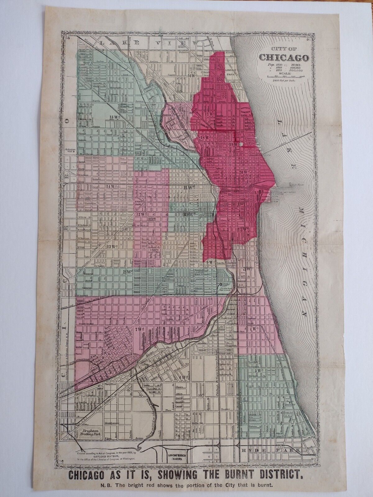
MAP of CHICAGO FIRE 1871 AS IT IS SHOWING THE BURNT DISTRICT ANTIQUE WATSON
$ 184.8
- Description
- Size Guide
Description
WELCOME TO MAPS OF POINTS RENOWNED !UP FOR YOUR CONSIDERATION- AUTHENTIC ORIGINAL 1871 MAP OF THE GREAT CHICAGO FIRE :
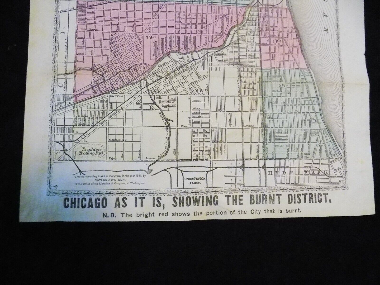
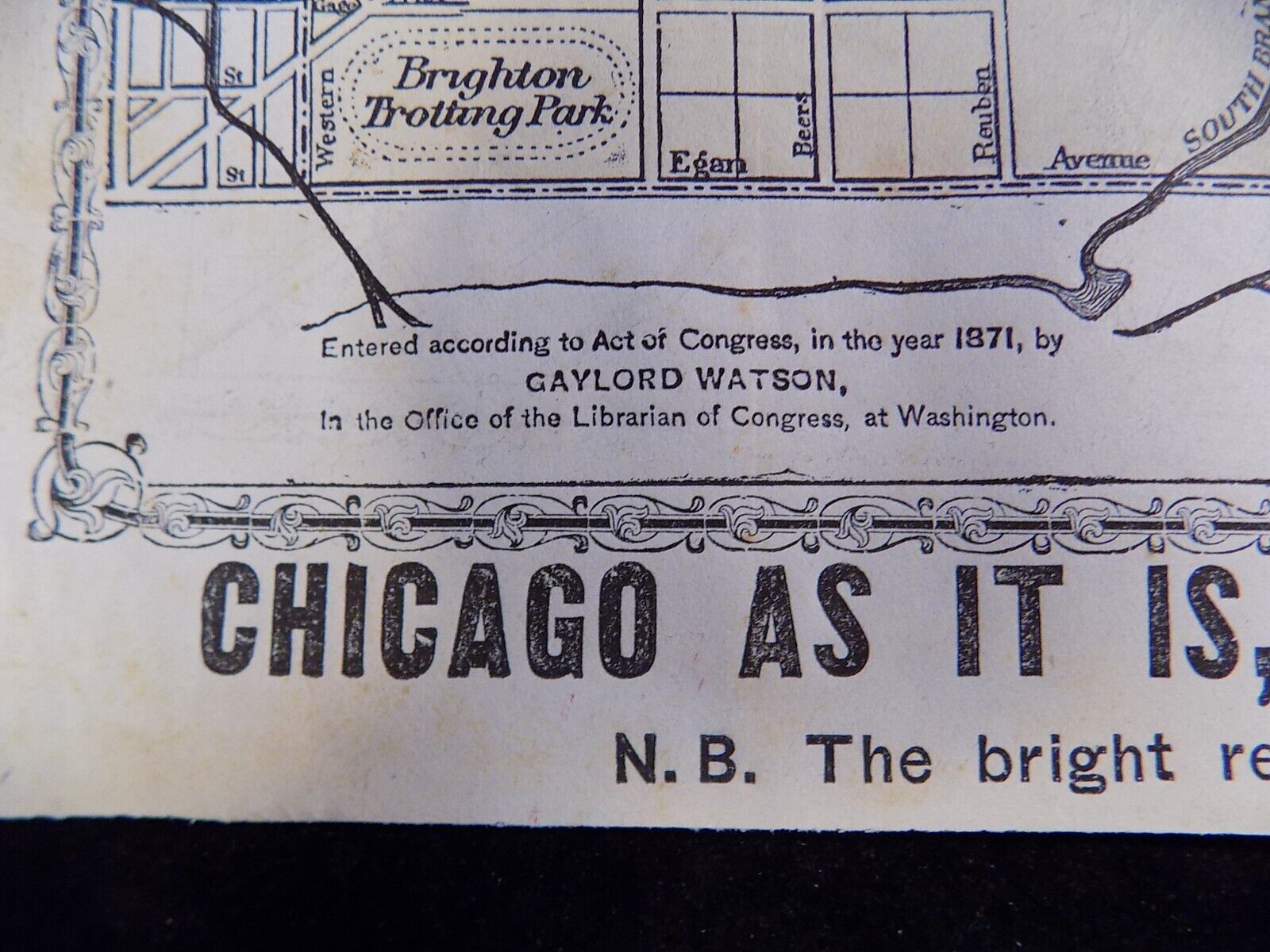
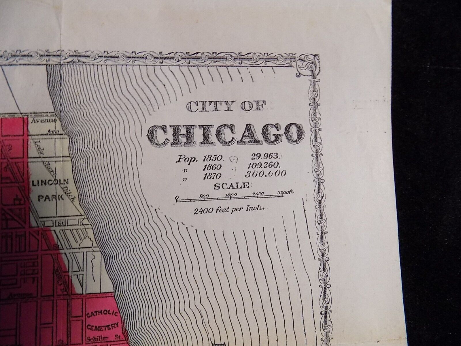
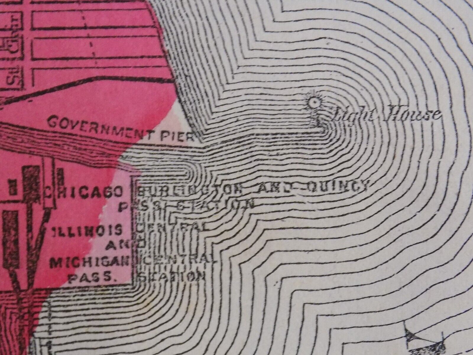
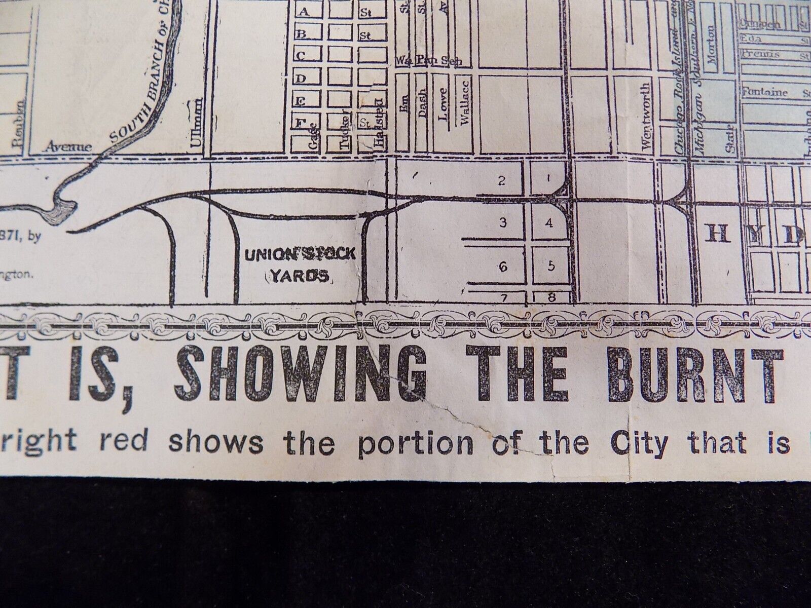
CHICAGO, AS IT IS, SHOWING THE BURNT DISTRICT.
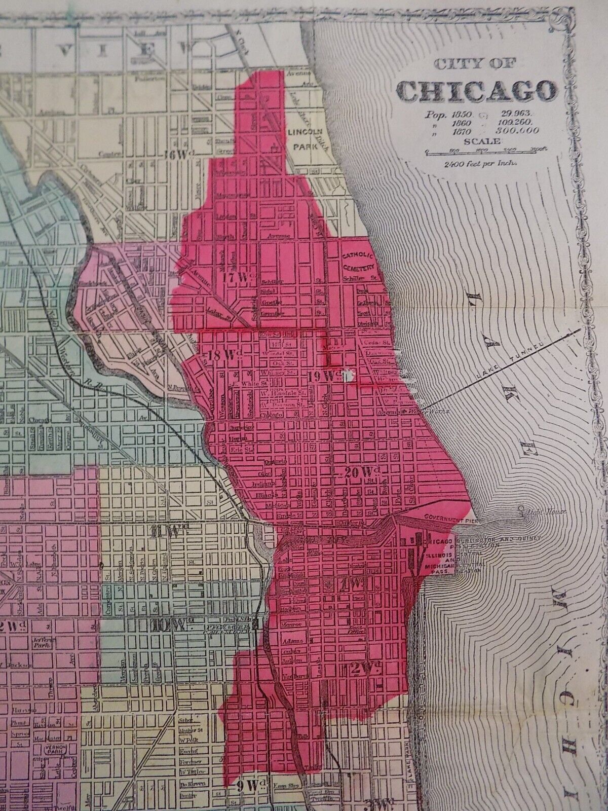
N.B. THE BRIGHT RED SHOWS THE PORTION OF THE CITY THAT IS BURNT.
The
Great Chicago Fire
was a conflagration
that burned in the American city of Chicago
during October 8–10, 1871. The fire killed approximately 300 people, destroyed roughly 3.3 square miles
of the city including over 17,000 structures, and left more than 100,000 residents homeless. This map was produced and sold for disaster relief
fundraising
efforts.
TITLE
:
CHICAGO, AS IT IS, SHOWING THE BURNT DISTRICT.
SUBJECT:
THE GREAT CHICAGO FIRE
YEAR:
1871
CARTOGRAPHER
: Gaylord Watson
PUBLISHER:
J.W. Goodspeed
PLACE
: Chicago
SCALE:
1 inch = 2400 feet
SHEET SIZE:
18 1/2 x 12 inches
IMAGE SIZE:
17 1/2 x 10 inches
FEATURES:
Portion of Chicago burnt by the Great Fire
ENGRAVING METHOD:
lithography
COLOR:
tinted and hand colored
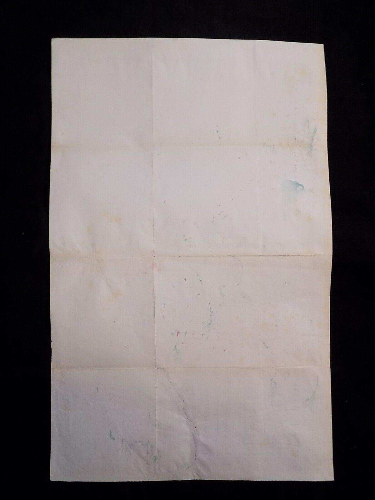
VERSO:
blank
CENTERFOLD:
8 asymmetrical folds as issued
CONDITION:
A-
NOTABLE BLEMISHES :
nicely
repaired tear on the verso
from blank footer margin passing through the word "showi
ng
" stopping at the fold immediately above. One small tear repaired on the verso in Lake Michigan. Some small tissue repairs on the verso at the blank folds and intersections.
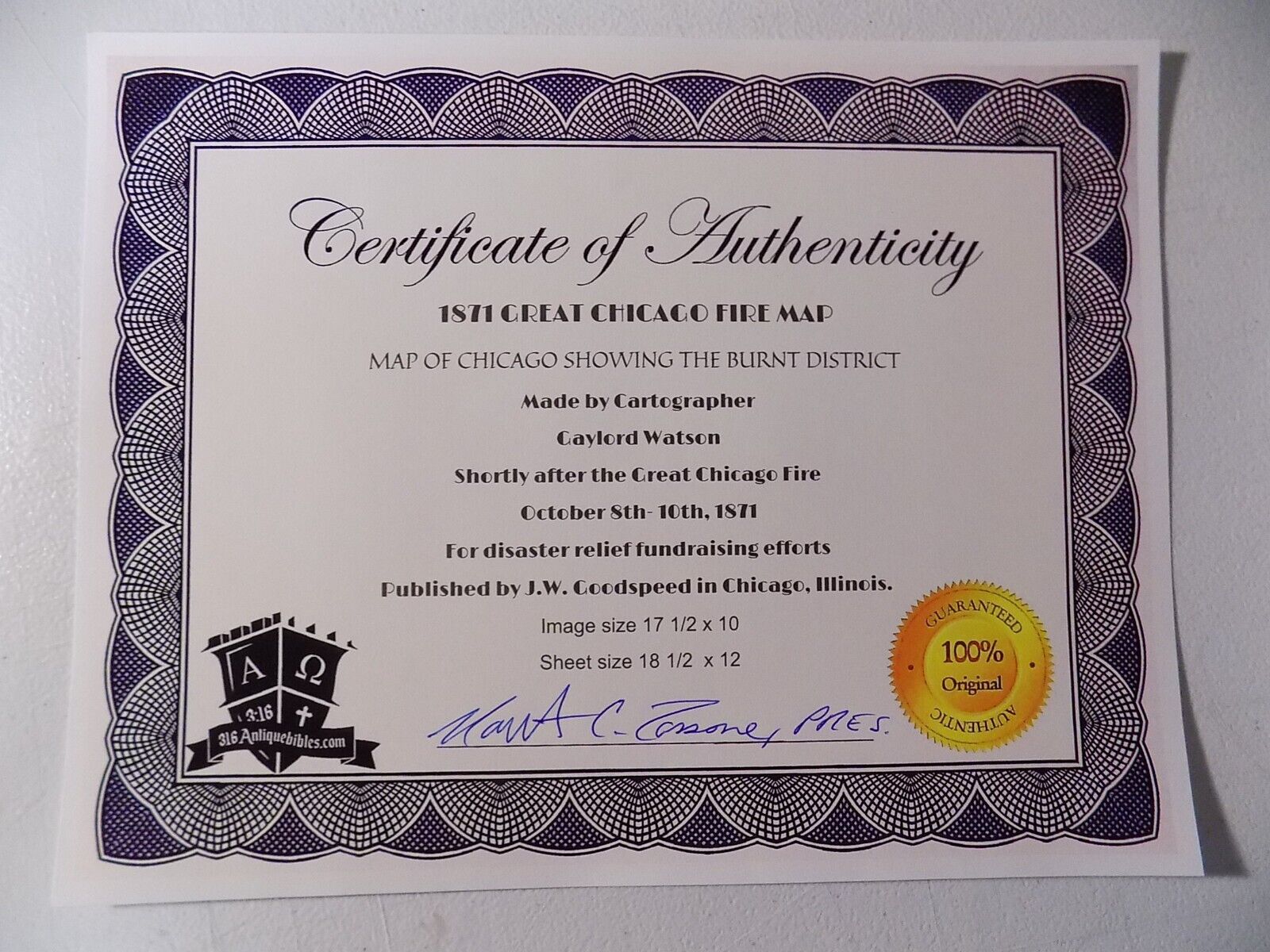
A RARE AND IMPORTANT HISTORICAL AMERICAN MAP SELDOM FOUND IN THIS CONDITION. OUR C.O.A. IS INCLUDED.
A lesser example was sold at Hindman in Chicago, sale #1069, on August 30th, 2022 for 8 at the hammer so don't miss out!
Ships in a protective poly sleeve packed flat, never rolled.
PLEASE VISIT OUR STORE FOR MORE FINE SELECTIONS
